TECHNICAL OVERVIEW
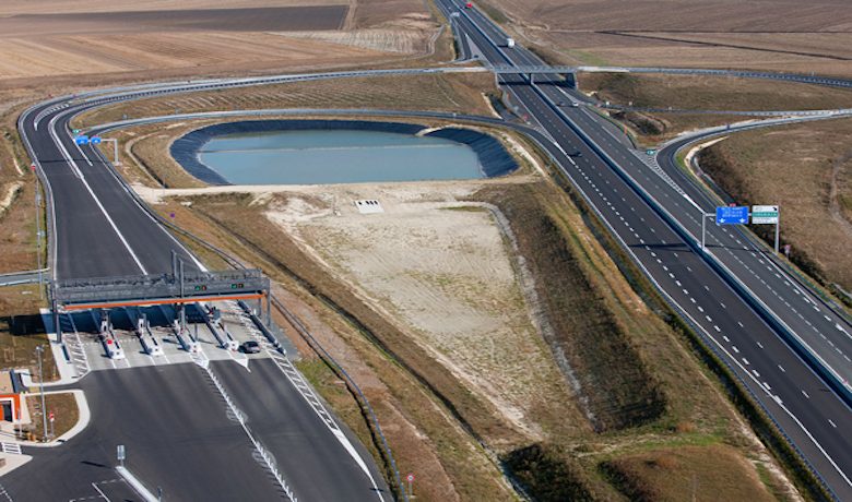
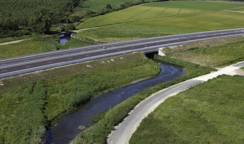
The route of the A19 passed over two major groundwater aquifers: the Beauce aquifer in the west and the chalk aquifer in the east. In addition, the motorway also had to cross several waterbodies (such as the Nant, the northern Laye, the Renoir, the Clairis, etc.).
Special attention was paid to noise pollution. Studies were conducted by the Laboratoire Régional des Ponts et Chaussées de Blois. Calculations were based on traffic projections for the year 2030.
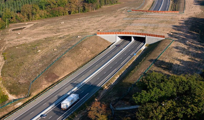
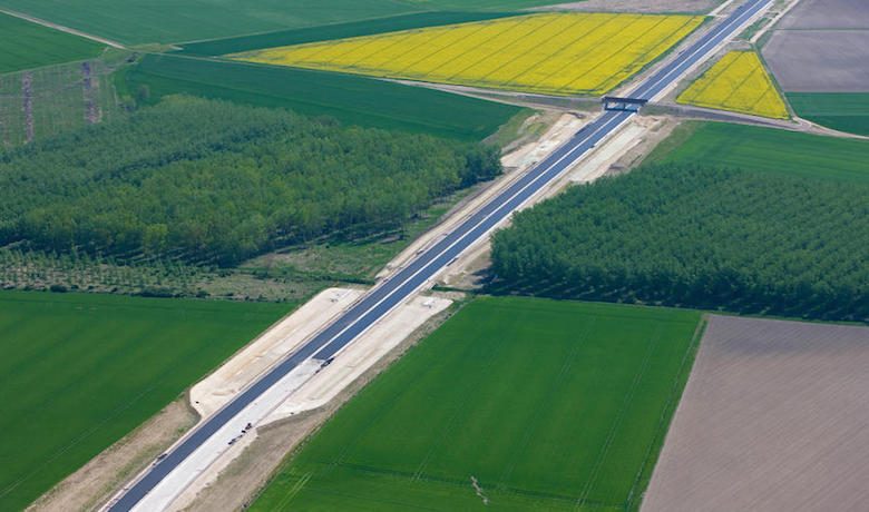
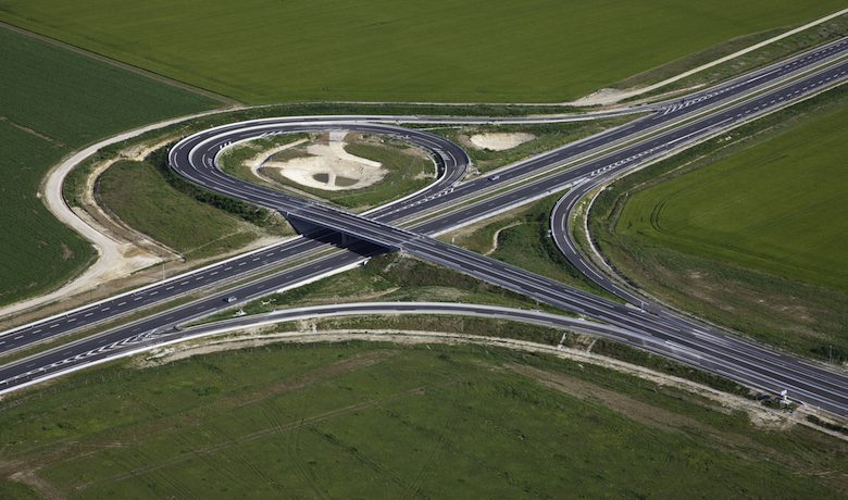
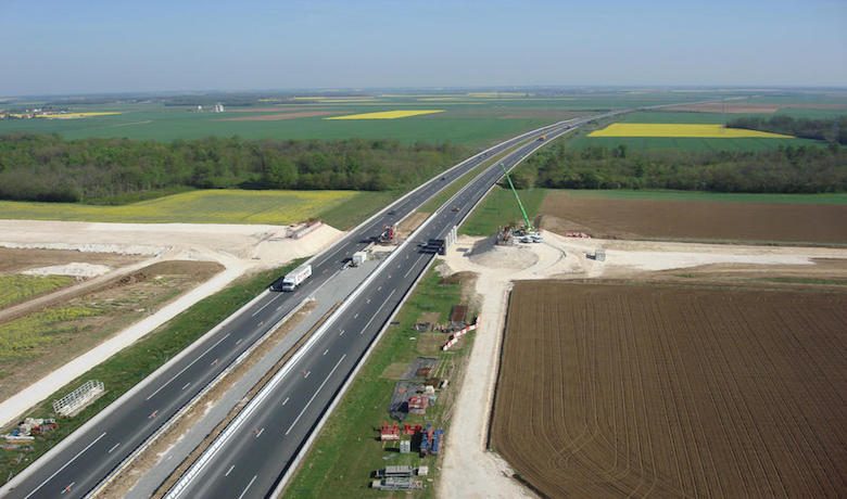
The 101 km Artenay–Courtenay section passes through 45 communes. This dual carriageway with hard shoulder markings has 5 local network interchanges and 3 motorway junctions.
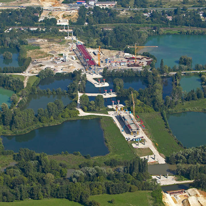
The project also includes a major viaduct spanning the Loing valley between Cepoy and Fontenay-sur-Loing. Given its size, this large viaduct is in some ways the jewel of the new motorway: 1,008 m long and 20 m wide, 6.5 to 15 m high below the road, sixteen 50 to 60-m spans supported on seventeen double piers. This giant structure is composed of 2,200 tonnes of steel and 11,000 m3 of concrete. A metallic structure has also been installed on top of the piers to support the superstructure and concrete slab of the bridge.
The opening of the A19 marked the completion of one of the largest motorway projects in France. It mobilised a total of 8,000 people for 4 million hours of work.


